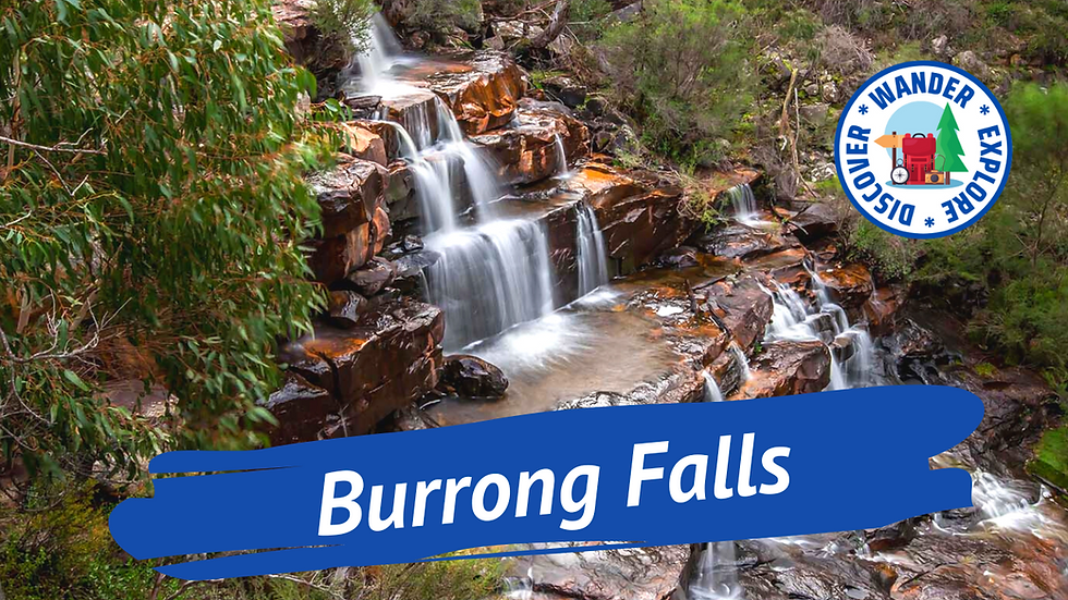
Burrong Falls
Burrong Falls is located in The Grampians National Park. It is a beautiful waterfall, where the water cascades approximately 15 metres down over a series of rock ledges and into the creek below.
The Grampians (Gariwerd) National Park is 260 kilometres west of Melbourne and has fantastic hiking trails, beautiful waterfalls, superb lookouts and a large variety of birds and wildlife.
The Grampians are five stunning sandstone ridges running north to south, with steep and rugged slopes on the eastern side and gentler slopes on the west.
The Walk - 700 Metres - 30 Minutes - Medium
The walk starts from the Burrong Falls Carpark and meanders downhill through the open bushland with a lovely assortment of wildflowers along the edge of the track.
There is a section of track with wide steps; this slowly becomes narrower and quite rocky as you get closer to the waterfall.
When you reach the section with larger rocks, you will hear the falls, and you can climb up and sit on the rocks and enjoy.
Directions to Burrong Falls Carpark
From Halls Gap, head north on Grampians Road (C216) towards School Road, then turn left onto Mt Victory Road (C222) and continue for 15.2 kilometres.
Turn left onto Rose Creek Road and travel for 8.4 kilometres; you will see a sign for Burrong Falls on the right. Some sections of the road are unsealed but are suitable for a 2WD Vehicle.
Includes day trips, 2 & 3 Day Tours, Wildlife Spotting, Waterfalls, Hiking and much more...
_edited.png)


Kommentare